|
Eriastrum densifolium
ssp.
austromontanum |
|
Eriastrum densifolium Kern Co.: South of Tecuya
Ridge, Bradley Canyon, CA |
  Eriastrum densifolium Kern Co.: vicinity of
|
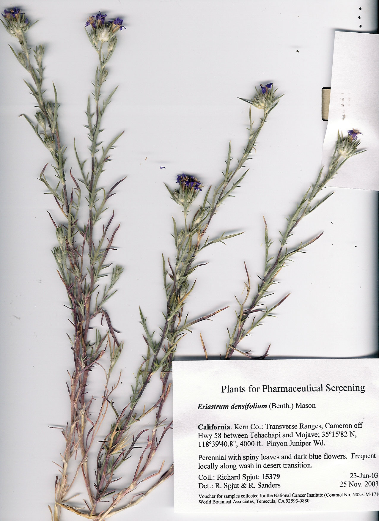
Eriastrum densifolium
Kern Co.: Transverse Ranges, Cerro Noroeste Rd, CA |
Eriastrum densifolium |
|
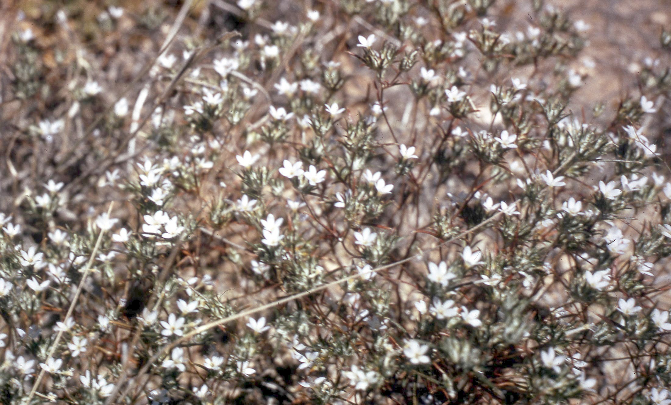
Eriastrum diffusum
|
Eriastrum diffusum
|
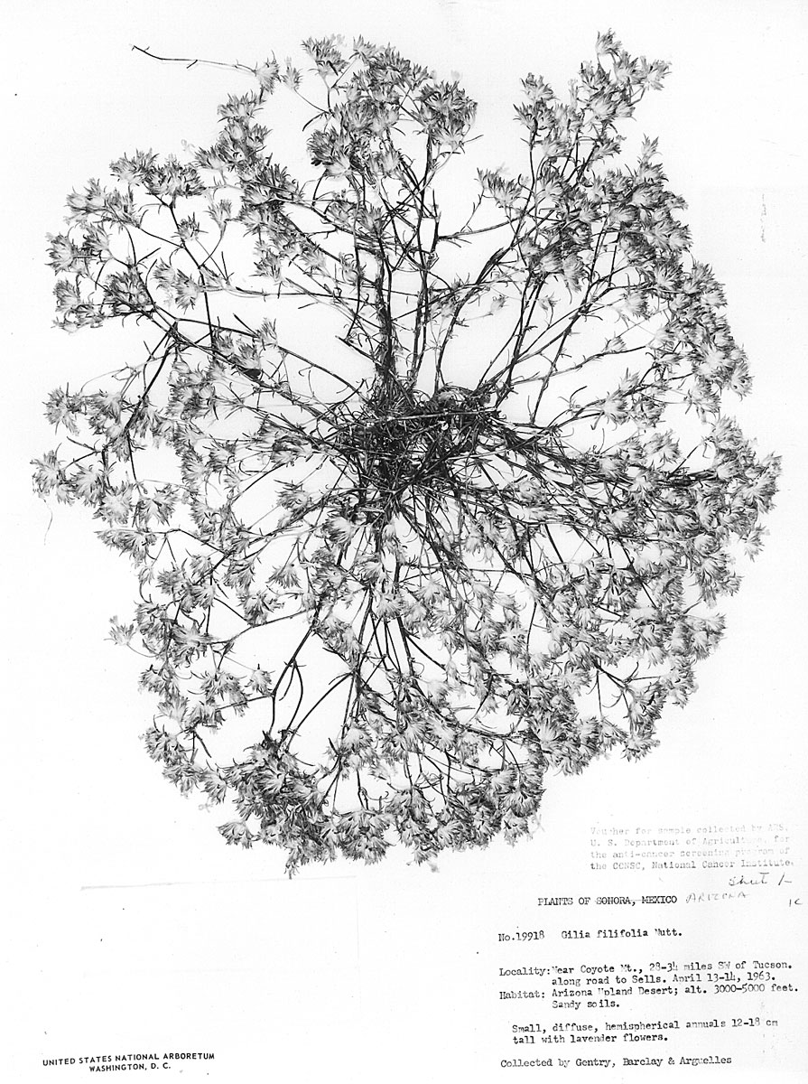
|
|
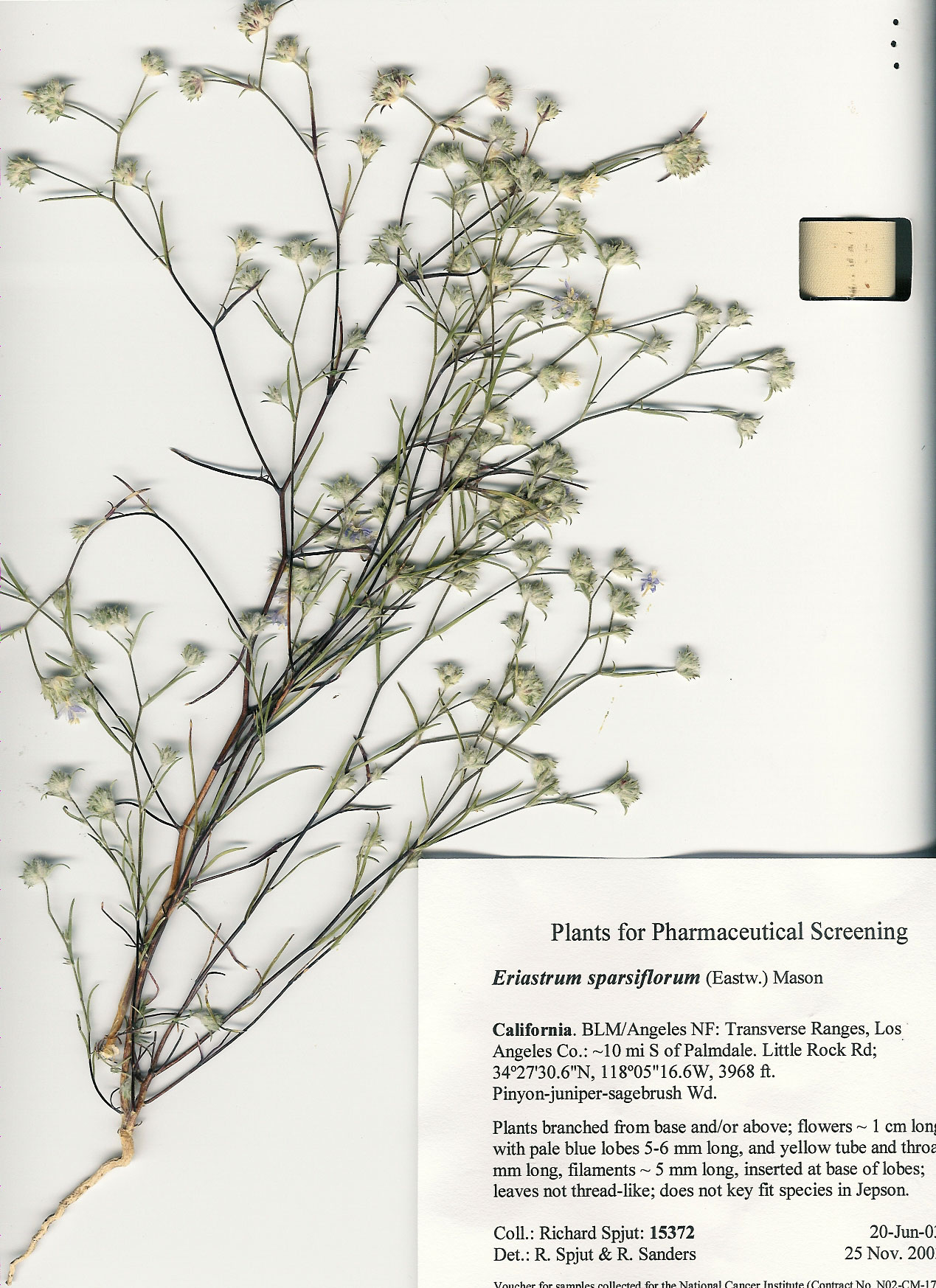
Eriastrum sparsiflorum
|
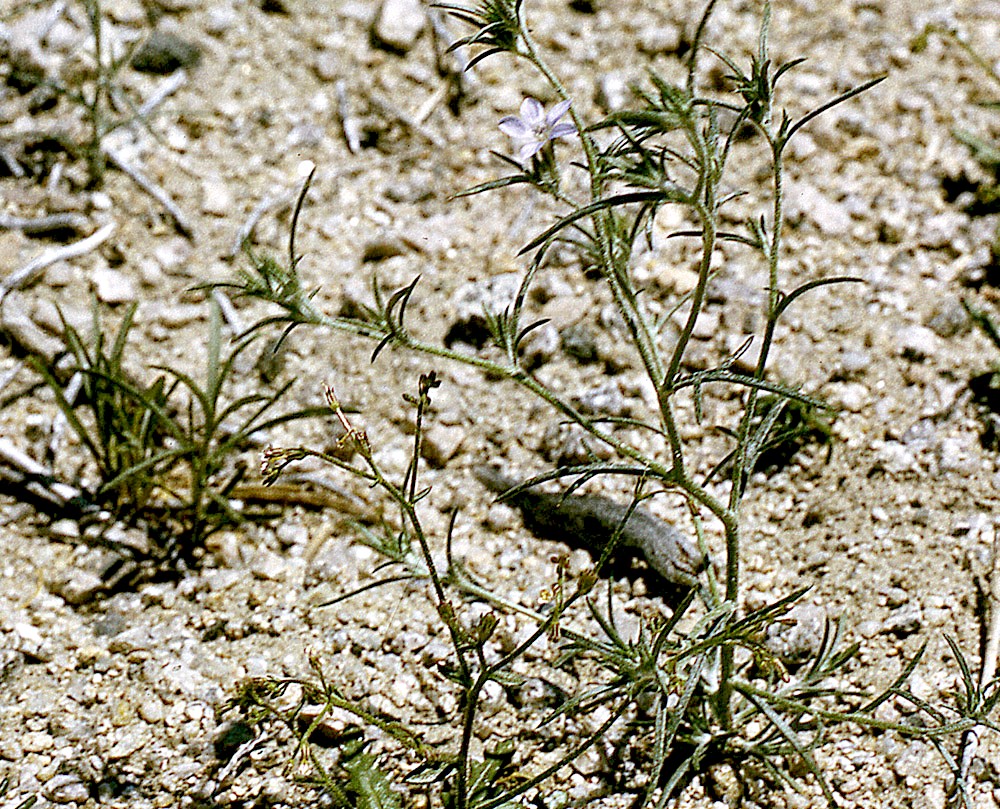
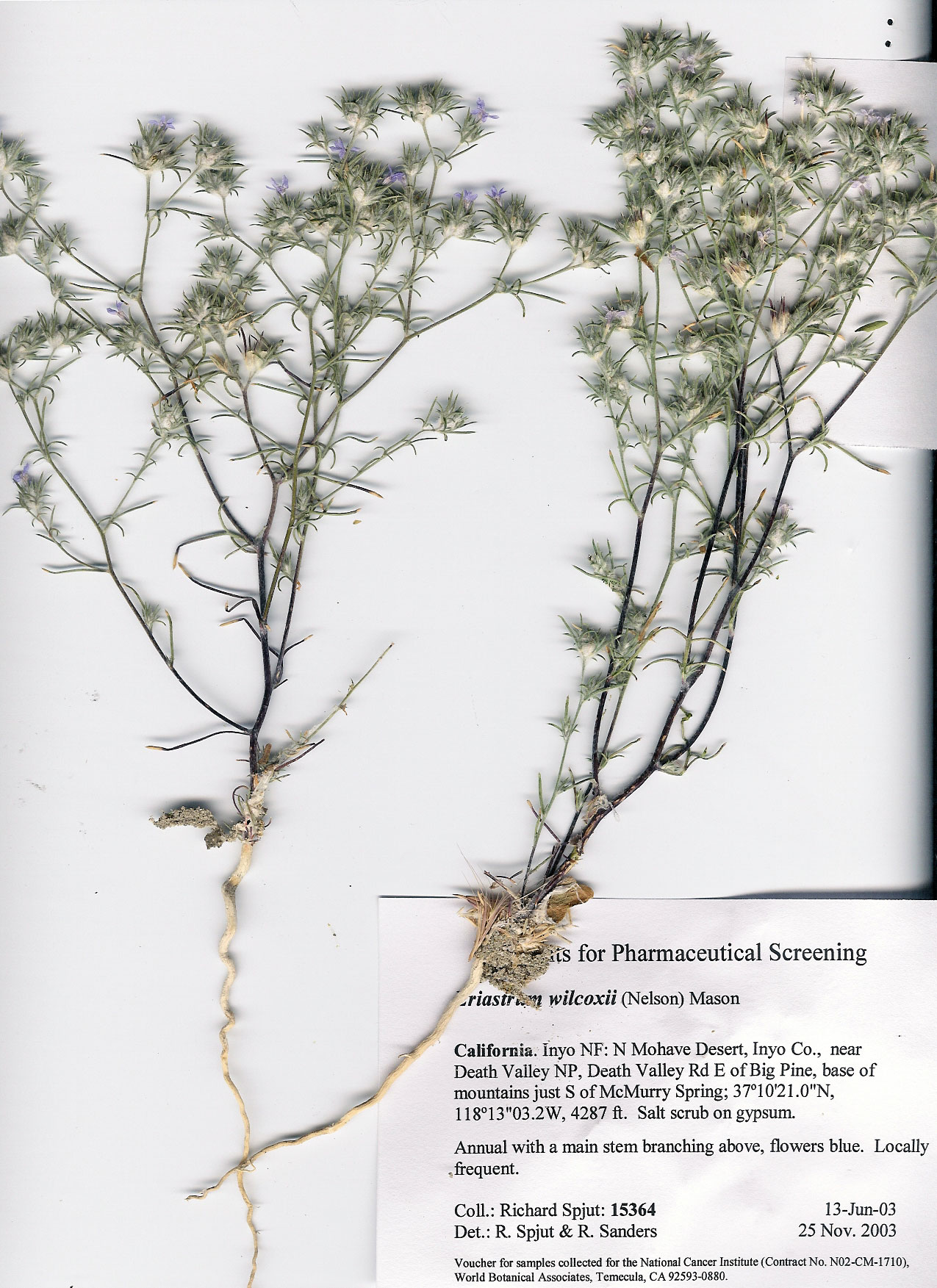
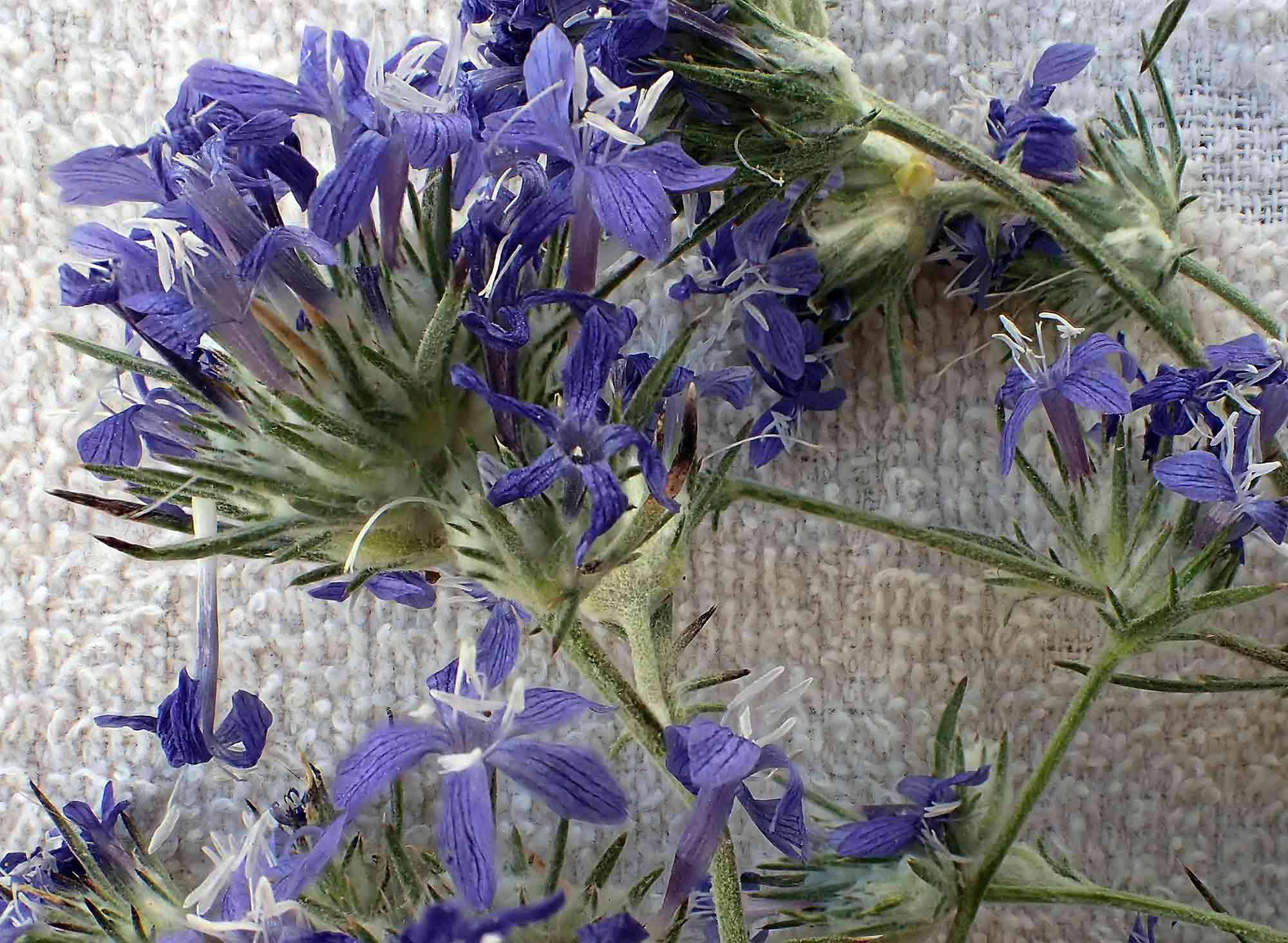
Eriastrum wilcoxii |
Eriastrum wilcoxii
|
|
Trees and Shrubs of Kern County (Jan 2013, July 2016) Eriastrum. Simple stemmed to much-branched annuals or subshrubs; leaves or leaflets of pinnately divided leaves needle-like, alternates; flowers in bracteates or leafy head, blue, white or yellow; calyx often with fine woolly hairs, the lobes often unequal in length; stamens equally attached to base of corolla lobes or at the upper end of the corolla tube; capsule with persistent valves. ±14 species, southwestern North America. Seven species have been reportedly used in American Indian medicine (Moerman). Three species have been of interest for antitumor activity in the NCI screening program. One subshrub species in Kern County. Eriastrum densiflorum (Hugelia densifolia Bentham 1833) H. Mason 1945. Woolly star. Type from California without specific location, collected by Douglas Key to subspecies (Modified from De Groot, Gowen & Patterson; updated key, Revision III, 15 Dec 2015, by Gowen & DeGroot in Jepson Flora Project (eds.), Jepson eflora (http://ucjeps.berkeley.edu/eflora/TJM2_Supplement_III.pdf, accessed 23 June 2016). CCH changes below in italics. Note: ssp. densifolium records for Kern County.
1. Corolla 20–25 mm;
coastal dunes, San Luis Obispo and Santa Barbara 1. Corolla <20 mm...................................................................................................... 2
2. Leaves
wide-spreading to recurved; main flowering stems shortly
2. Leaves erect to
spreading < 60º; main flowering stems with 3. Flower heads strictly terminal.......... ................................... ssp. austromontanum 3. Flowers heads terminal and from lower leaf axils........................... ssp. elongatum
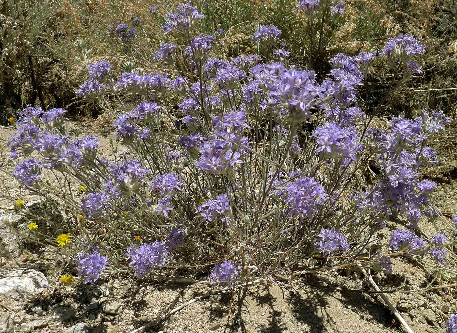
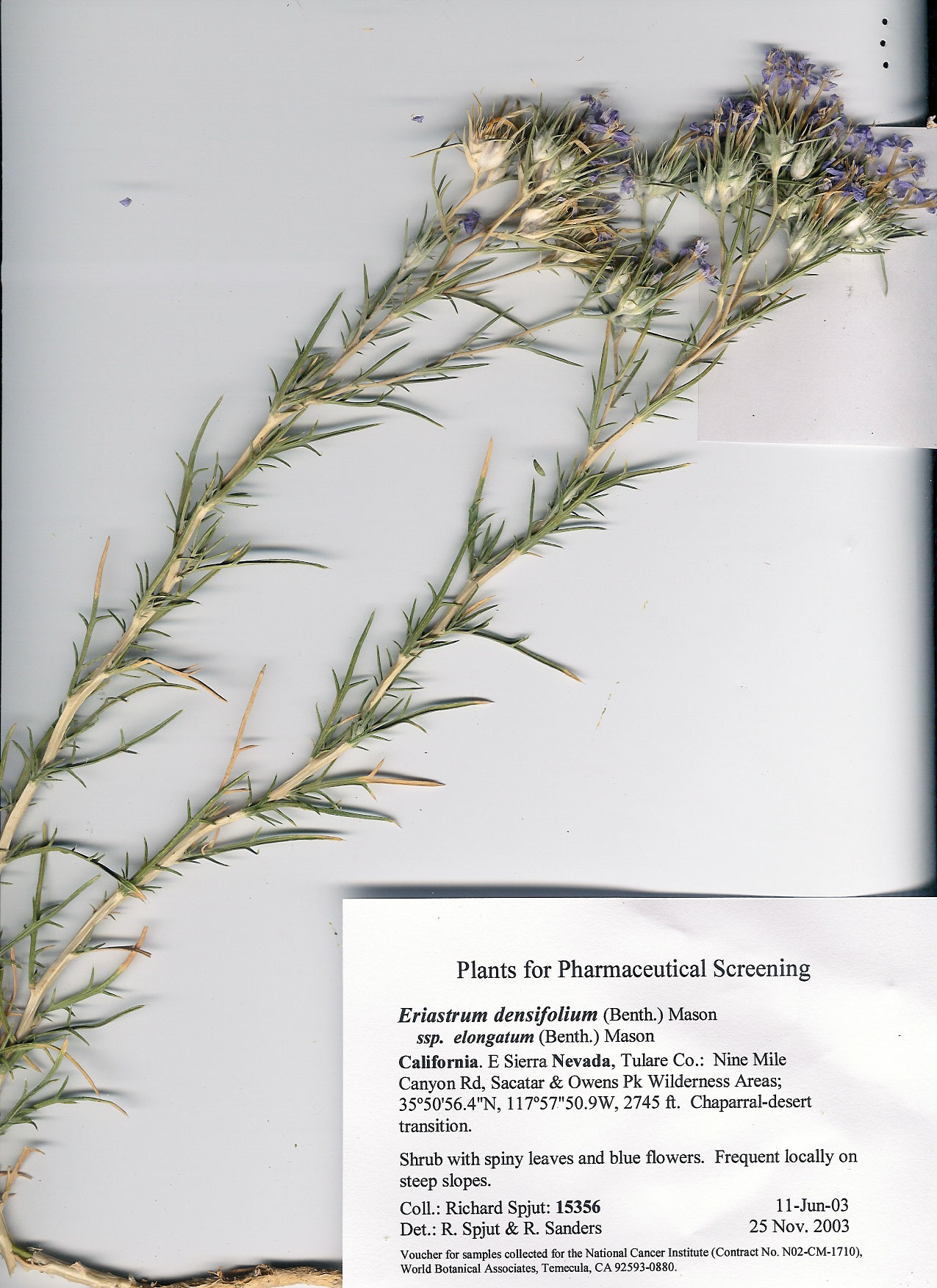
Eriastrum densifolium ssp. densifolium. Typical woolly star. Many determinations in CCH only to species, and 15 others to this subspecies, suggesting differences in the interpretation of the type for the species, or distribution of the typical subspecies. One specimen collected by Twisselmann determined as ssp. elongatum, a duplicate in another institution reidentified by M. S. Brunell in 1997 as belonging to ssp. densifolium [CCH accessed Jan 2013]. Kern Plateau (Cannell Peak, Theroux 15 Oct 1983, UCR) , Mojave Desert (Hwy 14, 6.7 km N of junction with Randsburg-Red Rock Road, Brunell 25 Jun 1992 [UC], 19 Jul 1993 [HSC, SD, UCR), Scodie Mts (Kiavah Wilderness Area. Horse Canyon/Cane Canyon saddle, southeast of Skinner Peak near Bird Springs Pass, L. Gross 26 Jun 2016 [UCR], S Sierra Nevada/Tehachapi Mts (Tomo-Kahni (Creation Cave) State Historical Park, NE of Monolith and Tehachapi, near intersection of Sand Canyon and Tranquility Roads, Charlton & Wilson 4 Jun 1994 [UCR]; Cameron Canyon, Twisselmann, 6 Jul 1965 [UCR], Mt. Pinos (Mt. Pinos Hwy, 6.6 km E of turnoff to Mt. Pinos Campground, roadcuts on both sides of road, Brunell 24 Jul 1993 [HSC], Mt. Abel (10.3 mi NW fr Mt. Abel turnoff on Cerro Norroeste Rd, Wisura & Brooks 12 Ju1 1989 [RSA], 787–2040 m. CCH accessed 23 Jun 2016. Eriastrum densifolium ssp. austromontanum (Gilia densifolia var. austromontana T. T. Craig 1934) H. Mason 1945. Woolly star. Subshrub, branching from a woody base, to 30 cm; leaves alternate, pinnately divided into 2–15 needle-like linear leaflets; flowering Jun–Aug; flowers funnel-shaped, 10–20 in a head, with blue petal lobes and yellow tube Woodlands 3,000–9,000 ft, Southern Sierra Nevada and South Coast Ranges, Transverse and Peninsular Ranges. Type from near Nellie, Palomar Mts., San Diego Co., CA. Kern Co.: “Common in sandy places and around rock outcrops in the mountains with exception to the Greenhorn Range” (Twisselmann), 960–2,134 m (CCH). Eriastrum densifolium ssp. elongatum (Huegelia elongata Bentham 1833) H. Mason 1945. Differs from the preceding in having fewer flowers (1–10 per head, rarely 15) and hairy leaves. Desert slopes along the western edge below 7,000 and southern Coast Ranges, southern Sierra Nevada to Baja California. Type presumably from southern Monterey Co., CA. Occasional on dry slopes in the mountains, mostly below the yellow pine forest in the chaparral, pinyon woodland, and the arid shrub association (Twisselmann),” often intergrading with ssp. austromontanum, determinations sometimes arbitrary (Twisselmann); Sierra Nevada north Kernville, 1 mile west of Greenhorn Summit, Walker Pass, Tehachapi Mts. Cameron Pass, San Emigdio Range, Bitter Creek Natl. Wildlife Preserve, 914–1,767 m (CCH). Eriastrum densifolium ssp. mohavense (Gilia densifolia var. mohavensis T. T. Craig 1934) H. Mason 1945. Differs from the preceding two varieties in the leaves being strongly recurved with spiny tips. “Scarce on desert slopes and flats from Red Rock Canyon to the southwestern Tehachapi Mountains where it ascends to the Douglas oak woodland in Bear Trap Canyon” (Twisselmann); Edwards Air Force Base—west side of Leuhman –Ridge, southeast side of Roger’s Lake; 1 mile west of Cantil; 10 miles east of Mojave; Short Canyon; Red Rock Canyon; 640–1,128 m (CCH).
|
||